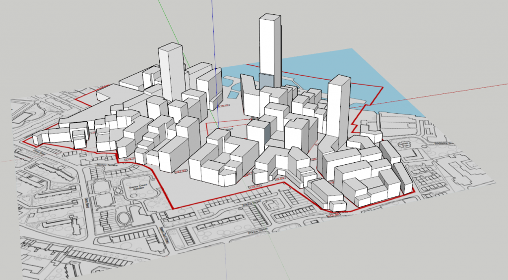
So I’ve been meaning to get this done for a long time and I finally sat down to do it tonight. Below are a series of “photographs”; the first is a real photograph, the second an equivalent screenshot taken from Google Earth as things stand today, then the last’s the most interesting one… what the view will roughly look like if the current plan for Convoys Wharf goes ahead. I had hoped that the completed site might put a frame around the view to Canary Wharf but unfortunately for me it obscures the view more than I’d hoped – but being truthful less than I feared it might too! I’m publishing a link here to the SketchUp model that sketches out the rough bulk of the plan as it stands today, and which can be loaded for your own amusement in Google Earth.
Enjoy 🙂 … or if you’re that way inclined experience your fears in 3D!
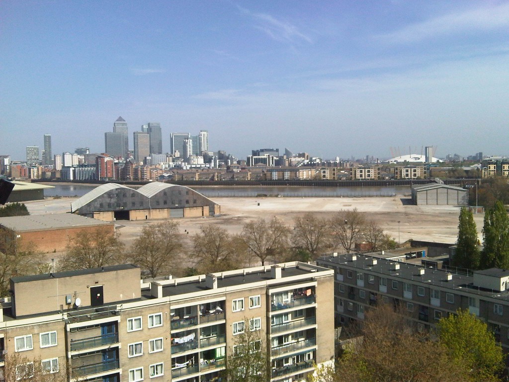
So this is the “real” photo as things stand today.
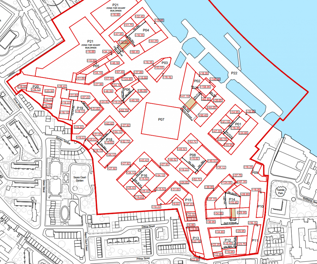
…and this is the elevation plan as the Planning Application stands.
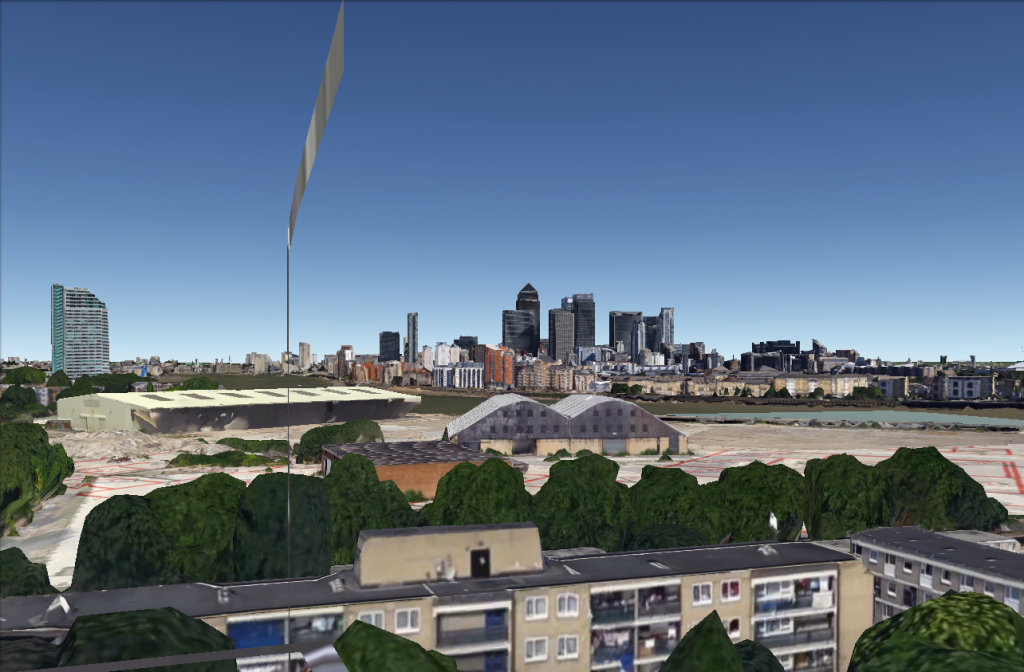
This is the equivalent computer generated view; note that I’ve included the “frame” of the balcony but you can clearly see more than is physically possible in reality.
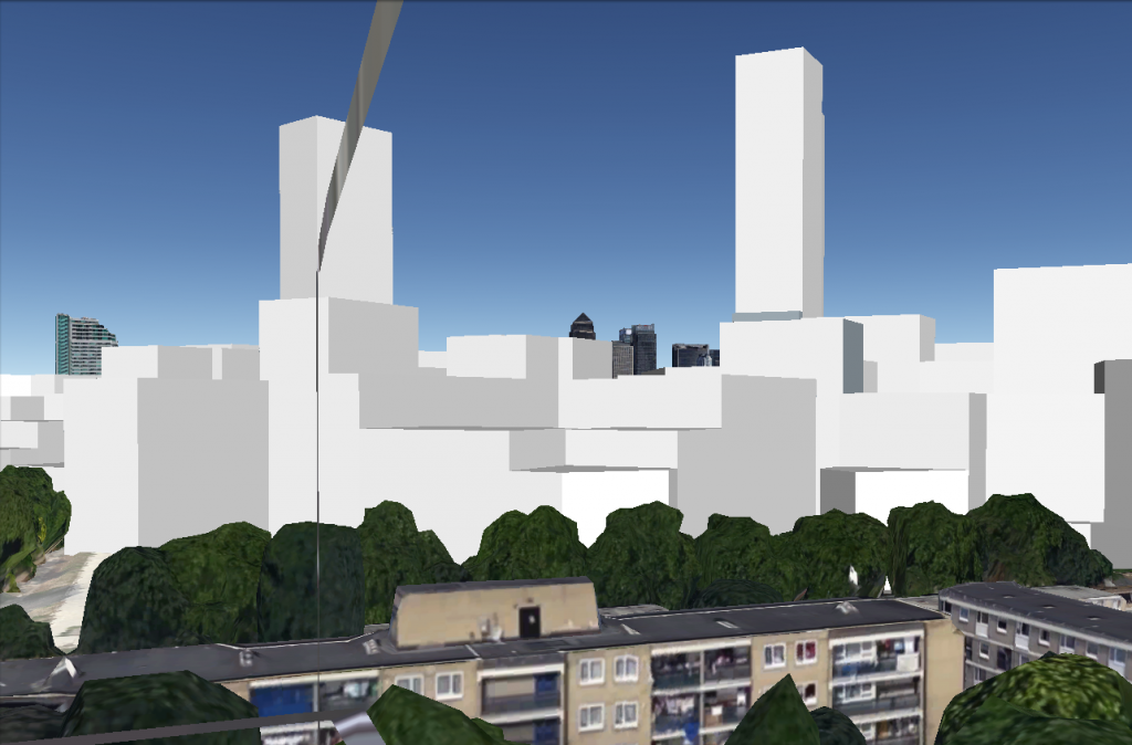
…and in this shot I’ve included the full bulk of the planned development – you can clearly see a lot less in the distance!
With a little luck this last image should be interactive. I’ve published the model in SketchUp’s 3D Warehouse… If you click on the 3D Warehouse logo in the image you should be redirected to the model and be able to download it for opening in Google Earth for the full experience…
